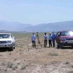
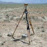
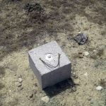
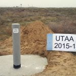
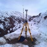
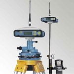
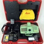
A geodetic network is created by establishing a B-degree network system in the international coordinate system based on A-degree networks in the national dimension in highways, airports, major city infrastructure and other projects. C-degree (polygon) network system is created for map design and applications. By using GNSS-RTK technique with the installed system, topographic measurements are made with dual frequency GPS receivers and 3D map production bases are formed. Coordinate calculations and scales of the field measurements are made in the office environment on CAD (AutoCAD, MicroStation, NetCad, etc.) and scaled 3D digital map is produced. Expert team and equipment service is provided for the field map application works of the projects.

